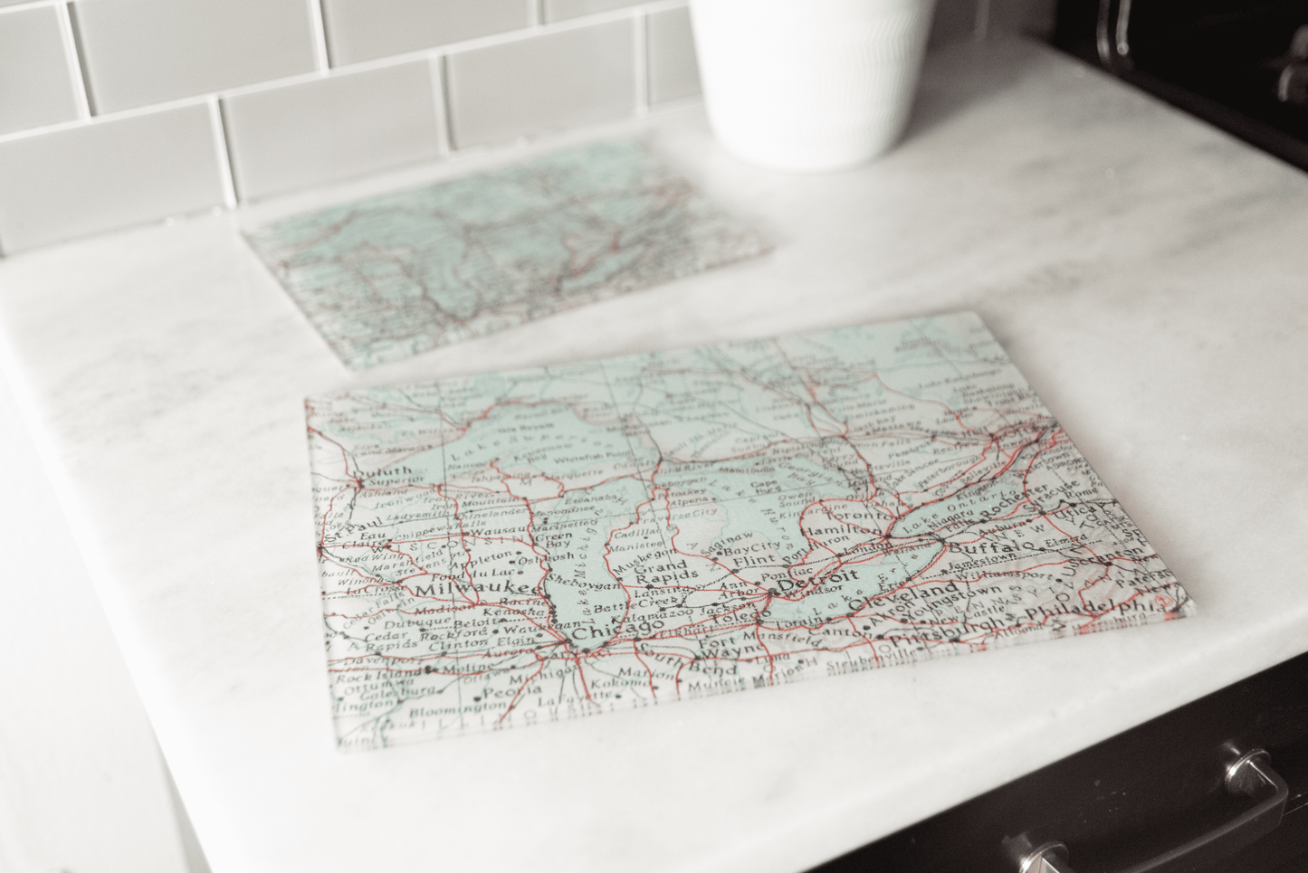
A vintage Vermont road atlas print centered on Stowe, running west to Mt. Mansfield and Smugglers Notch and south to Waterbury Center and the dam. Morrisville, Moscow, Elmore, Bolton Mtn, Mt. Hunger, and Mt. Worcester all appear, with elevations marked at the summits and the old aerial chair lift called out in red on Mansfield.
Route 100 and Route 108 run through the middle of it, which is the drive most people picture when they think about that part of Vermont. The print sits under a smooth glass surface, so it stays sharp through everyday use and reads clearly from across the counter.
Works as a serving board for cheese and charcuterie, a prep surface, or a piece that just lives on the counter or open shelf. A good gift for a Stowe skier, a Vermont transplant, a leaf peeper, or the host who already owns enough dish towels.
Details:
Vintage road atlas print centered on Stowe, Mt. Mansfield, and the Route 100 corridor
Tempered glass surface
Non-slip feet
Doubles as a serving board, trivet, or counter piece
Printed to order in small batches
Coordinates with our Stowe pillow, kitchen towel, and ornament
Care: Dishwasher safe. Wipe dry to keep the surface clear.